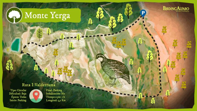
The route, which is about 3.5 km long, begins in the area designated for car park at the crossroads. We must take the path to the right, this path runs along the slope of the mountain between various crops parallel to the pine forest located in the upper part. In this part of the route we will witness how man has modified the mountain and its surroundings for its use, giving more environmental importance to the parts where few native specimens still survive in this area. We will arrive at a crossroads where a forest track ascends between pine trees towards the top of the mountain, we must continue straight until we reach an irrigation pond that we will leave behind taking the path located on the left, this path descends the hill offering us unbeatable views of the foothills of Yerga and its heterogeneous plant composition. These relict holm oaks and kermes oaks have a high faunal value, being a feeding place and a refuge area for many species. We are in a transition space or ecotone, a border area between the thick forest and the open crops where a higher variety of species than in any of the two ecosystems coexist, and therefore presents a greater biodiversity. In the last part of the route we will be able to appreciate this phenomenon more remarkably. Once we reach the last crossroads, we must take the path that ascends and, with the holm oak on the left and crops on the right, will take us back to the starting point.
Technical Data
During this circular route through the slopes of Mount Yerga we will be able to get an idea of what the Mediterranean mountain was like before the various transformations carried out by the hand of man. Between vineyards and crops, small areas of land appear before our eyes where the holm oak or the Kermes oak still resist the anthropic pressure and remind us of the extension that the forest had years ago.
- Distance
3,5 Km
- Duration
1h
- Type
Circular
- Difficulty
Low
- Time of the year
All
- Entrance
Parking area
- Final
Parking area
- Signaling
No
It is recommended to wear comfortable clothing appropriate to the weather and terrain conditions. Park your vehicle in the car park enabled for it. The itinerary takes place within a natural space. Please be especially respectful.
Monte Yerga
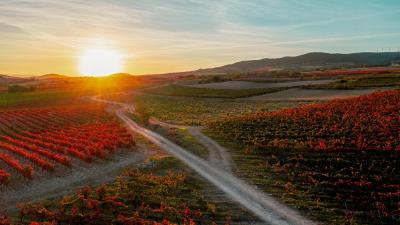
Surrounded by vineyards, Monte Yerga is the highest mountain (1,100m) in the proximity of our town, although at first sight it may appear to be an isolated mountain, actually it forms part of a small mountain range that separates the basins of the Alhama and Cidacos rivers.
Birdwatching
| Rock Bunting | 3 | 25/05/2025 | |
| Cirl Bunting | 1 | 25/05/2025 | |
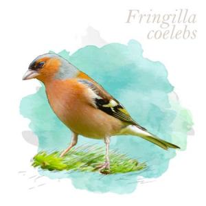
| Common Chaffinch | 12 | 25/05/2025 | |
| European Serin | 6 | 25/05/2025 | |
| Eurasian Wren | 2 | 25/05/2025 | |
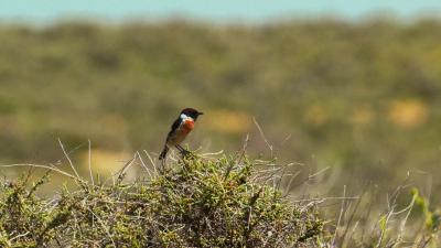
| European Stonechat | 1 | 25/05/2025 | |
| Common Firecrest | 2 | 25/05/2025 | |
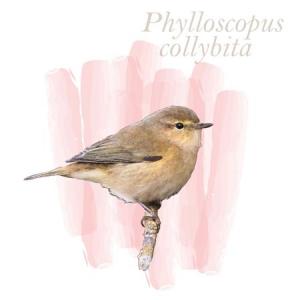
| Common Chiffchaff | 1 | 25/05/2025 | |
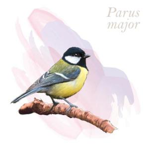
| Great Tit | 4 | 25/05/2025 | |
| Coal Tit | 10 | 25/05/2025 | |
| Common Swift | 1 | 25/05/2025 | |
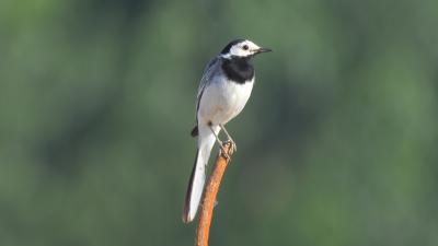
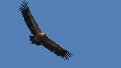
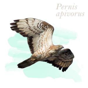
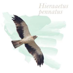
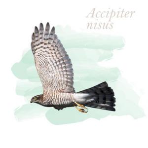
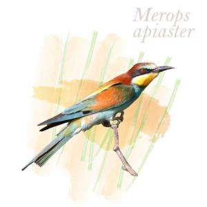
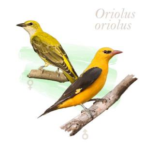
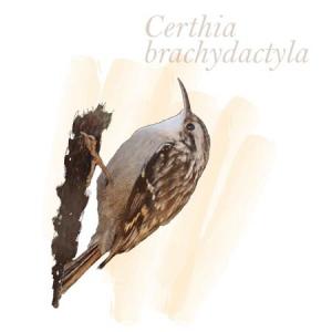
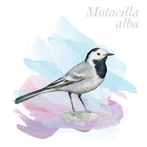
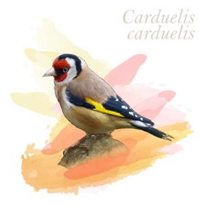
The route runs through an area where farmland and forest intermingle, so we can see a diverse group of birds that use these spaces. We find forest birds such as finches, coal tits, blue tits, thrushes and blackbirds, insectivorous birds such as redstarts, nightingales, stonechats, chiffchaffs, warblers... It is also common to see species associated with crops such as partridges, larks, asparagus and shrikes, the striking orioles, hoopoes and bee-eaters also coexist in this territory. Regarding birds of prey, kites, marsh harriers, kestrels, sparrowhawks and buzzards roam here in search of food, and many griffon vultures cycle through the area and even the golden eagle prowls around this enclave.
Complete list
List of birds



















| SPECIES NAME | COUNT | DATE | |
|---|---|---|---|
| Rock Bunting | 3 | 25/05/2025 | |
| Cirl Bunting Cirl Bunting | 1 | 25/05/2025 | |
| Common Chaffinch Common Chaffinch | 12 | 25/05/2025 | |
| European Serin European Serin | 6 | 25/05/2025 | |
| Eurasian Wren Eurasian Wren | 2 | 25/05/2025 | |
| European Stonechat | 1 | 25/05/2025 | |
| Common Firecrest | 2 | 25/05/2025 | |
| Common Chiffchaff Common Chiffchaff | 1 | 25/05/2025 | |
| Great Tit Great Tit | 4 | 25/05/2025 | |
| Coal Tit | 10 | 25/05/2025 | |
| Common Swift Common Swift | 1 | 25/05/2025 |


