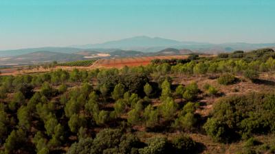
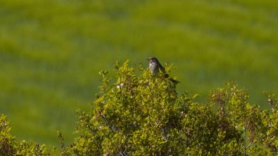
This linear route of just 2 km takes us into a pine reforestation and then gradually ascends to an open area, an area of ravines and crops that offer us an excellent panoramic view of the zone and that will help us understand the different transformation processes which have shaped the landscape to its current composition. The route begins in the car park we can find on the left side of the road. At this point we can already see how the various water needs of the different plant species place them in one area or another. Water is accumulated in higher quantity on one side of the road, finding species such as poplars and brambles, species with higher water requirements, while on the other side the predominant species is the Carraco pine (Pinus halepensis) adapted to live under more pronounced drought conditions. The difference in the number of plant species on either side of the path is remarkable. Shortly after starting the route we will find a crossroads, we must follow the forest track that snakes its way up along the pine forest. During this part of the route we will be able to appreciate how the various alluvial deposits with little cement are dragged by the eventual runoffs visibly transforming the terrain of the path to be followed. Once we have crossed the pine forest we will arrive at an open area with hardly any vegetation, a place from where we will have unbeatable views of the area and, with the forest behind us and the cultivated ravines in front, we will be able to appreciate the different modifications of the terrain carried out by the hand of man for its use and exploitation in said area. The route continues with a small descent towards the cultivated ravines until reaching the last crossroads, the end of our route. It should be noted that this last area through which we are moving is a transition zone between ecosystems, situated between a forest area and an agricultural area and presenting a higher biodiversity typical of these ecotones that gives it greater importance from an environmental point of view.
Technical Data
Dominated by plateaus and ravines, the slopes of Mount Yerga present various areas with a curious plant heterogeneity. A large part of the territory occupied by this Mediterranean forest has been transformed into land for the cultivation of conifers. In this short route that we propose, we will be able to understand the importance of water for the location of various species sensitive to water deficit and how the hand of man, as well as the different erosive processes, are capable of shaping the landscape in truly curious ways.
- Distance
3,4 km
- Duration
1h
- Type
Lineal
- Difficulty
Low
- Time of the year
All
- Entrance
Parking area
- Final
Crossroad
- Signaling
No
It is recommended to wear comfortable clothing appropriate to the weather and terrain conditions. Park your vehicle in the car park enabled for it. The itinerary takes place within a natural space. Please be especially respectful.
Monte Yerga
Surrounded by vineyards, Monte Yerga is the highest mountain (1,100m) in the proximity of our town, although at first sight it may appear to be an isolated mountain, actually it forms part of a small mountain range that separates the basins of the Alhama and Cidacos rivers.
Birdwatching
| Rock Bunting | 3 | 25/05/2025 | |
| Cirl Bunting | 1 | 25/05/2025 | |
| Common Chaffinch | 12 | 25/05/2025 | |
| European Serin | 6 | 25/05/2025 | |
| Eurasian Wren | 2 | 25/05/2025 | |
| European Stonechat | 1 | 25/05/2025 | |
| Common Firecrest | 2 | 25/05/2025 | |
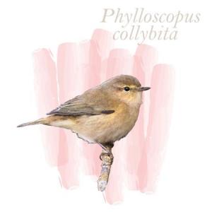
| Common Chiffchaff | 1 | 25/05/2025 | |
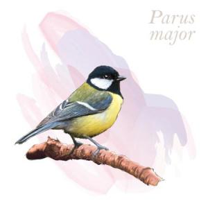
| Great Tit | 4 | 25/05/2025 | |
| Coal Tit | 10 | 25/05/2025 | |
| Common Swift | 1 | 25/05/2025 | |
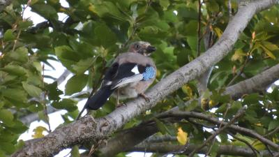
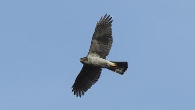
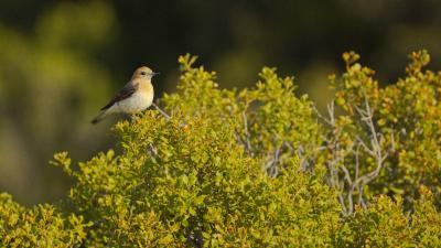
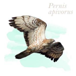
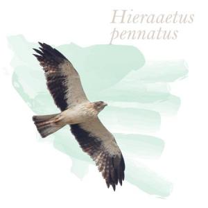
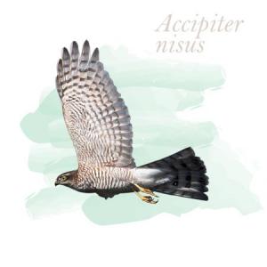
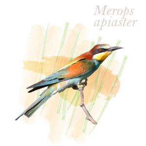
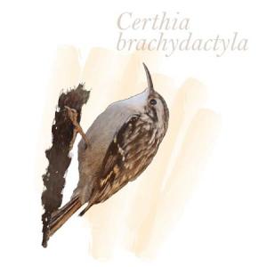
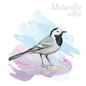
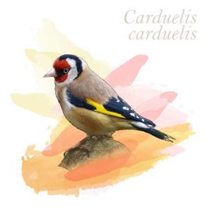
As we find most of the way through a pine forest, there are many forest birds that we can observe such as finches, coal tit, blue tit, thrushes and blackbirds, more rare are the jay or woodpeckers. Insectivorous birds such as redstarts, wheatears, stonechats and warblers are present in the areas adjacent to the pine forest, as well as shrikes or the colorful bee-eaters, all of which are associated with agricultural land. Although they are not numerous, birds of prey also frequent this enclave, and it is common to see kites, marsh harriers, kestrels, sparrowhawks and buzzards. Many are the griffon vultures that cycle through the area and even the golden eagle prowls around this enclave.
Complete list
List of birds




















| SPECIES NAME | COUNT | DATE | |
|---|---|---|---|
| Rock Bunting | 3 | 25/05/2025 | |
| Cirl Bunting Cirl Bunting | 1 | 25/05/2025 | |
| Common Chaffinch Common Chaffinch | 12 | 25/05/2025 | |
| European Serin European Serin | 6 | 25/05/2025 | |
| Eurasian Wren Eurasian Wren | 2 | 25/05/2025 | |
| European Stonechat | 1 | 25/05/2025 | |
| Common Firecrest | 2 | 25/05/2025 | |
| Common Chiffchaff Common Chiffchaff | 1 | 25/05/2025 | |
| Great Tit Great Tit | 4 | 25/05/2025 | |
| Coal Tit | 10 | 25/05/2025 | |
| Common Swift Common Swift | 1 | 25/05/2025 |


